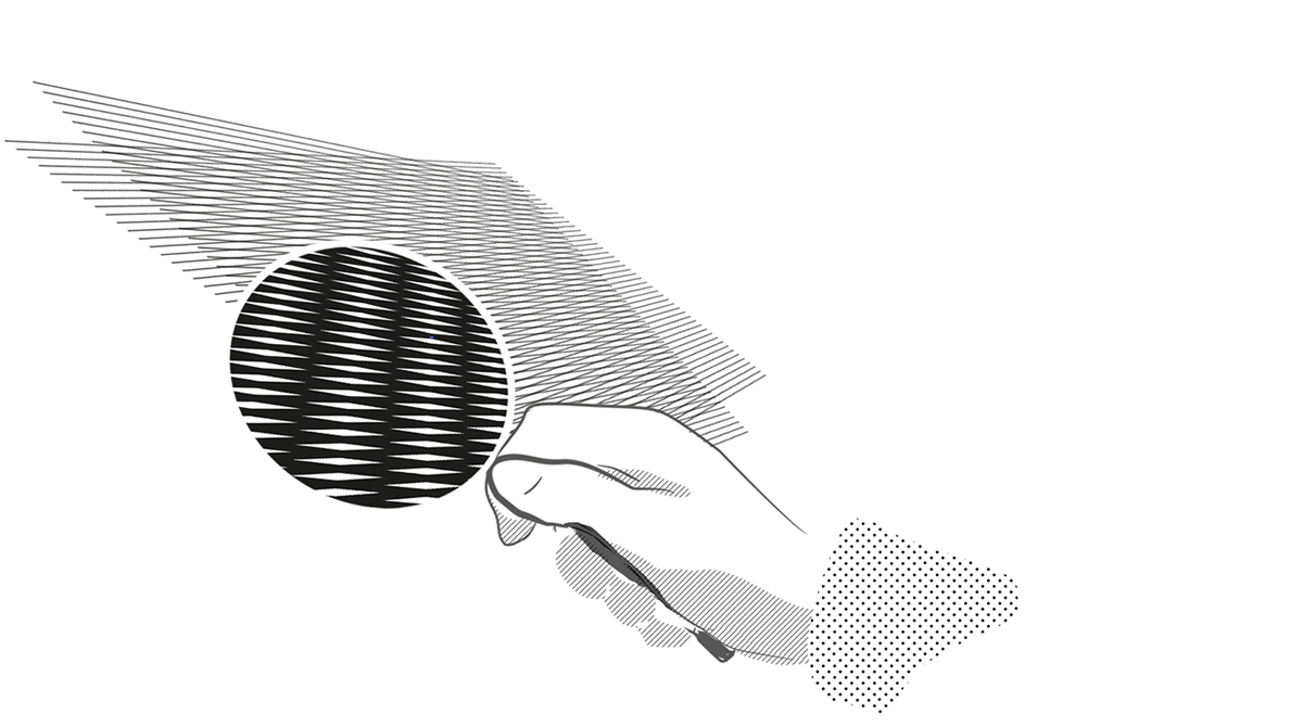
ēnōdo has specialized in data processing in order to simplify the systematic ascertainment of the rules actingon a given parcel of land through the simple input of the cadastral identifiers, by way of referring and collimating the complete set of land and urban plans to the cadastral maps.
The main services offered by Enōdo are:
The provision of databases which join the cadastre to the land and urban planning geometries and so to the rules referred by these, in order to be used in webGIS platforms possibly already owned by the administration;
The combined provision of such dataset and of the EnōdoGET software, which provides the selection of all and only the rules referred to the chosen parcels, supporting also their official certification.
The increasing obligations imposed on the professionals to assure the conformity of the planned building interventions imply a comprehensive knowledge of the multiple provisions that must be observed. To this purpose, the Unified Map of the Territory brings together the representation of all the geometries georeferencing provisions on building works and land use, whichever their origin, municipal or not.The resulting cartography - the Unified Map of the Territory - includes generally much more than a hundred different themes, of which it is difficult to ascertain with efficiency and sureness the recurrence on a given portion of territory. The service offered by Enōdo srls identifies, in a clear and univocal way, the rules which are in force on any parcel of the municipal territory, simply putting in the numbers of cadastral sheet and parcels.
Running EnōdoGET highlights the cadastral parcels against the background of the unified maps and returns:• the detailed list of the zones, of the protections and more generally of the features which are intersected;• the list of the rules georeferenced by the intersected features;• the area of each intersected surface.• upon request, the urban destination certificate corresponding to that list, verifiable and selectable by the municipal clerk, output in Adobe PDF format.This kind of service is possible only through the collimation of the planning and cadastral cartographies, which allows a pure selection of all the features that are actually intersected by the parcels, without improper intrusions of fragments of adjacent entities. The integrity and completeness of the data are maintained and guaranteed over time, keeping up to date the cadastral maps, updating the plans in case of modifications and registering the changes brought into higher level regulations.
The necessary database for the complex interrogation of urban planning instruments using a webgis.The service collimates cartographies and generate the database that provides the relationships between the entities of the vector data (shapefile) and the related field values or layers to data tables. The data is guaranteed in in order to be easily integrated within the eventual webgis platform already in use by the municipal administration.
The integrity and completeness of the data are maintained over time with the implied changes by the cadastral variations, by specific variations to the urban plan or by superordinate regulations, with a quality control with a regular quarterly frequency.